A beautiful, strenuous, 10.3 mile hike starting at the Mt. Frissell trailhead and traveling through Massachusetts, Connecticut, and New York. The trail ends at the Mount Washington Headquarters. We were treated to multiple summits with some fairly strenuous ascents (at least we thought so), along with some awesome traverses and ridge hiking. The numerous views were all amazing, especially for such low elevations. In total, we were on the trail for about 7 hours, taking it slow so we could better enjoy our scenic surroundings. This was an icy trail, so make sure to start early and be prepared for a long day!
 We began our day with a confused look at the clock, first believing we had set our alarm an hour early, but quickly realizing that we had chosen the day of daylight savings as our 4 AM wake up. After a sleepy drive out to the Berkshires, we arrived at the Mount Washington State Forest Headquarters bright and early to embark on what we thought would be a loop around Alander Mountain. A ranger named Jim, who was manning the Headquarters, informed us that the bottom half of the loop we were planning to hike was flooded and unsafe. Terrible news. To cheer us up, he suggested we take a drive with him over to the Mt. Frissell trailhead, where we would be able to bag a few extra summits and end up back at the Headquarters, all while hiking through three different states! Why would we ever turn down an offer like that?
 From the Mt. Frissell trailhead, we immediately started ascending Round Mountain. We found this section fairly easy given the amount of climbing we were actually doing (our days at the rock gym gave us a little extra experience for this icy incline). The path was well marked (blazed in red) and pretty straightforward. Soon enough we had summited Round and were on our way to Frissell.
Upon reaching the immediate summit of Frissell, we were slightly disappointed by the views. This was repaid ten-fold, however, once we had traversed around its side to the highest point in Connecticut (2,380 ft.).  From here we continued straight until we reached our next landmark, the tri-state marker, a stone marking the point at which Connecticut, Massachusetts, and New York meet, embossed with an abbreviation of each state’s name (excluding Connecticut, because apparently they don’t like their name carved into stones). We again continued straight as the trail intersected with the Ashley Hill Trail (the bottom half of the loop we were originally hoping to take).
Eventually, the Mt. Frissell trail spat us out at its end, where it meets the South Taconic Trail. This portion of the hike gave one of the most beautiful views overlooking New York’s Harlem Valley. The amount of detail we could see from this elevation, coupled with the vast expanses of the valley, provided a unique perspective for us to enjoy while we rested.


We continued to the north on the white blazed South Taconic Trail. This trail was well marked, but we were faced with some challenges when we encountered large sections that had flooded and frozen over.  After this slippery adventure, which added a moderate amount of time to our journey (mostly attributed to the ice stomping and scouting around the trail), we descended back down into the woods. Rivers formed by ice melt began popping up around us and eventually we reached the junction between South Taconic and the Alander Mountain Trail, marked in blue. Forking right, we began to follow the Alander Mountain Trail, though both trails lead to Alander’s summit.
  Our ascent was tough and slow, mainly due to our sore legs. We zigzagged our way up in elevation, all the while trying to decide which peak was Alander. We were tricked again and again as the trail ascended and descended multiple times, but eventually we knew we were there when we passed the Alander Mountain cottage on our right. We enjoyed exploring the cottage, which contained a variety of goodies for lodgers while they overnighted at the summit.

The views were amazing, well worth the long trip we had endured to get there. After resting up for a bit, we began our decent, which ended up being particularly moist and muddy.  We followed the mountains main drainage river (sometimes walking directly in it) down past the camping area to the right and the other end of the Ashley Hill Trail. Eventually we reached a beautiful brook.
  Our fondness for the serene flowing waters soon waned as we realized we needed to find a way across. Initial efforts of rock-hopping failed as it was far too icy and slippery. Instead, we traveled upstream, where we found two fallen trees that suited our need for a bridge. After that adventure, we stayed straight, traveling through grassy fields and eventually hanging right, back into the woods that quickly lead us back to our car.
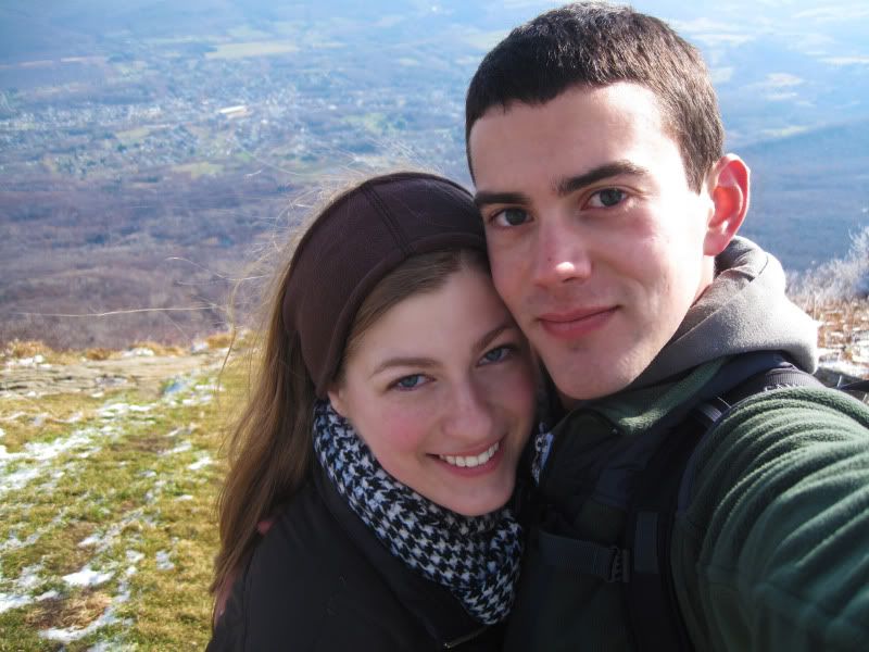
This unexpected journey ended up being an excellent adventure for the two of us to experience together. It was long and hard but well worth the effort. Special thanks to the ranger, Jim, who made this great day possible.